Credits
The photos on this site come from Wikimedia Commons. Their photographers share them under Creative Commons licenses, which let anyone reuse a photo with credit. We resized and compressed each one for the web. The map is built on OpenStreetMap.
Photos
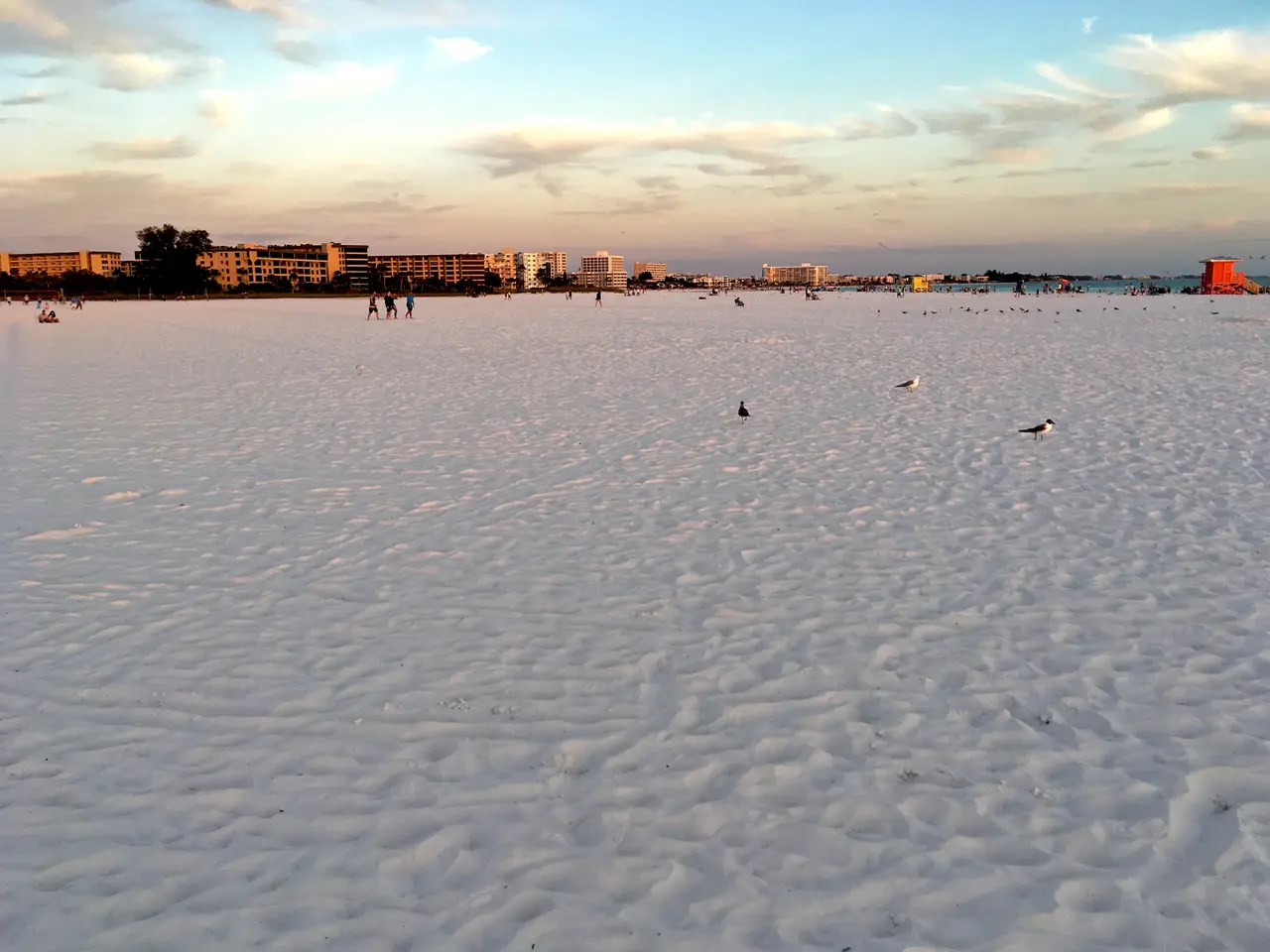
Siesta Beach at sunset, Siesta KeyPhoto by Fred Hsu. 2017 Sarasota Enormity of Siesta Beach on Siesta Key at Sunset 03 FRD 9744.jpg on Wikimedia Commons, CC BY-SA 3.0.
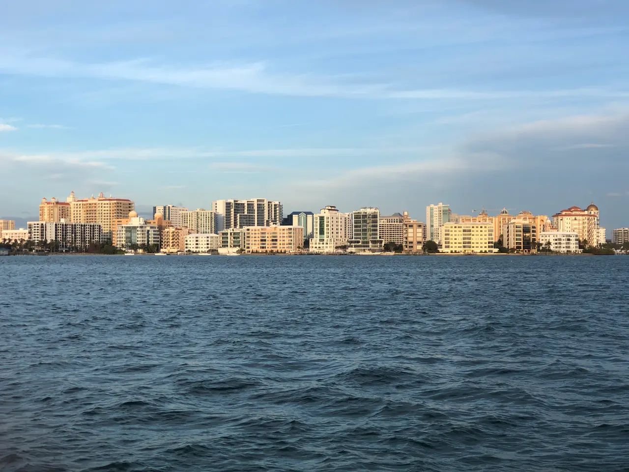
Downtown Sarasota from Sarasota BayPhoto by Cullen Morgan. Sarasota Skyline.jpeg on Wikimedia Commons, CC BY 4.0.
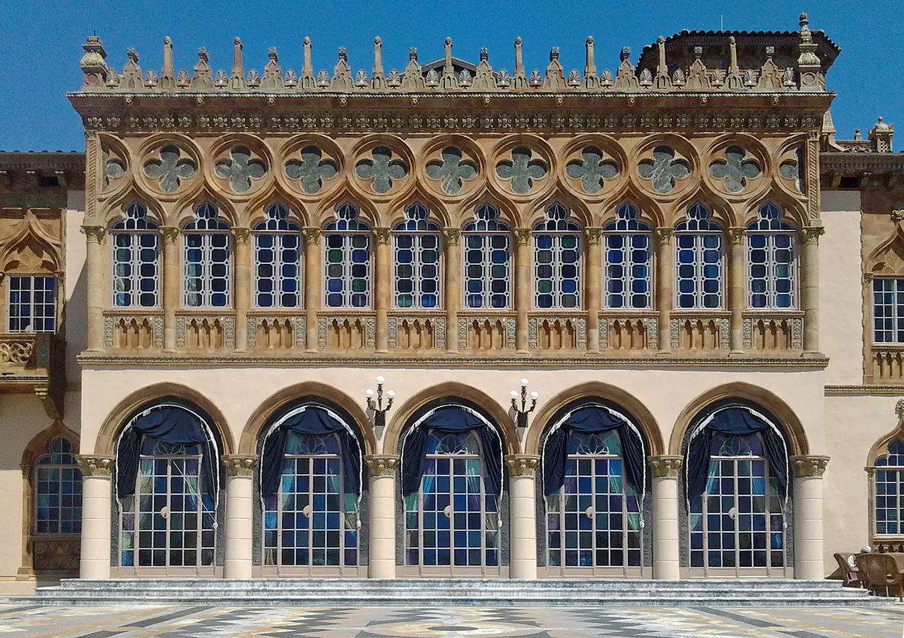
Cà d'Zan, the Ringlings' bayfront mansionPhoto by McGhiever. Cà d'Zan bayside façade.jpg on Wikimedia Commons, CC BY-SA 4.0.
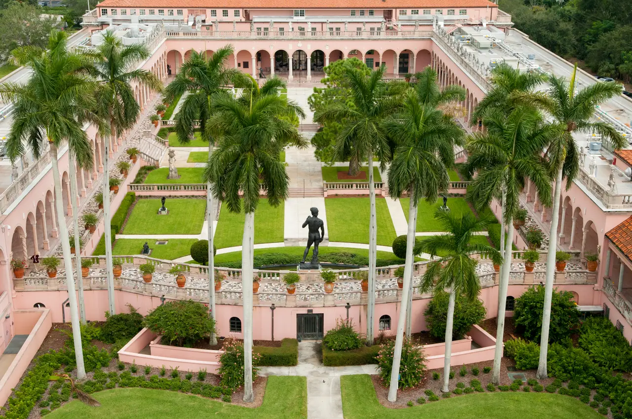
The Ringling Museum of Art courtyardPhoto by Mableringling. John and Mable Ringling Art Museum Courtyard Aerial.jpg on Wikimedia Commons, CC BY-SA 4.0.
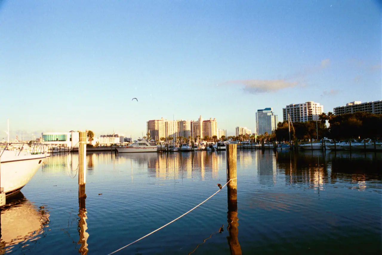
Bayfront Park Marina, SarasotaPhoto by Wendyrichmondrn. Bayfront Park Marina, Sarasota, FL.jpg on Wikimedia Commons, CC BY-SA 4.0.
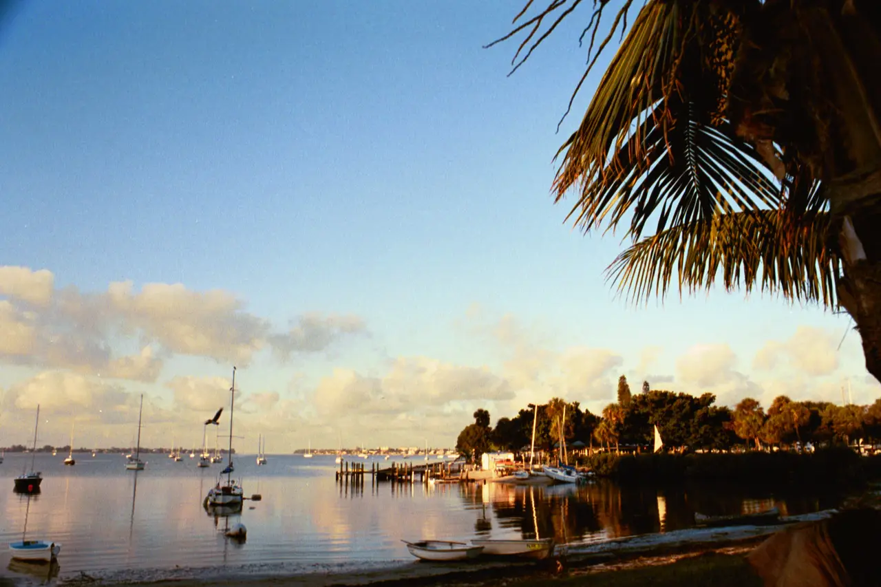
Bayfront Park, SarasotaPhoto by Wendyrichmondrn. Sarasota, FL Bayfront Park.jpg on Wikimedia Commons, CC BY-SA 4.0.
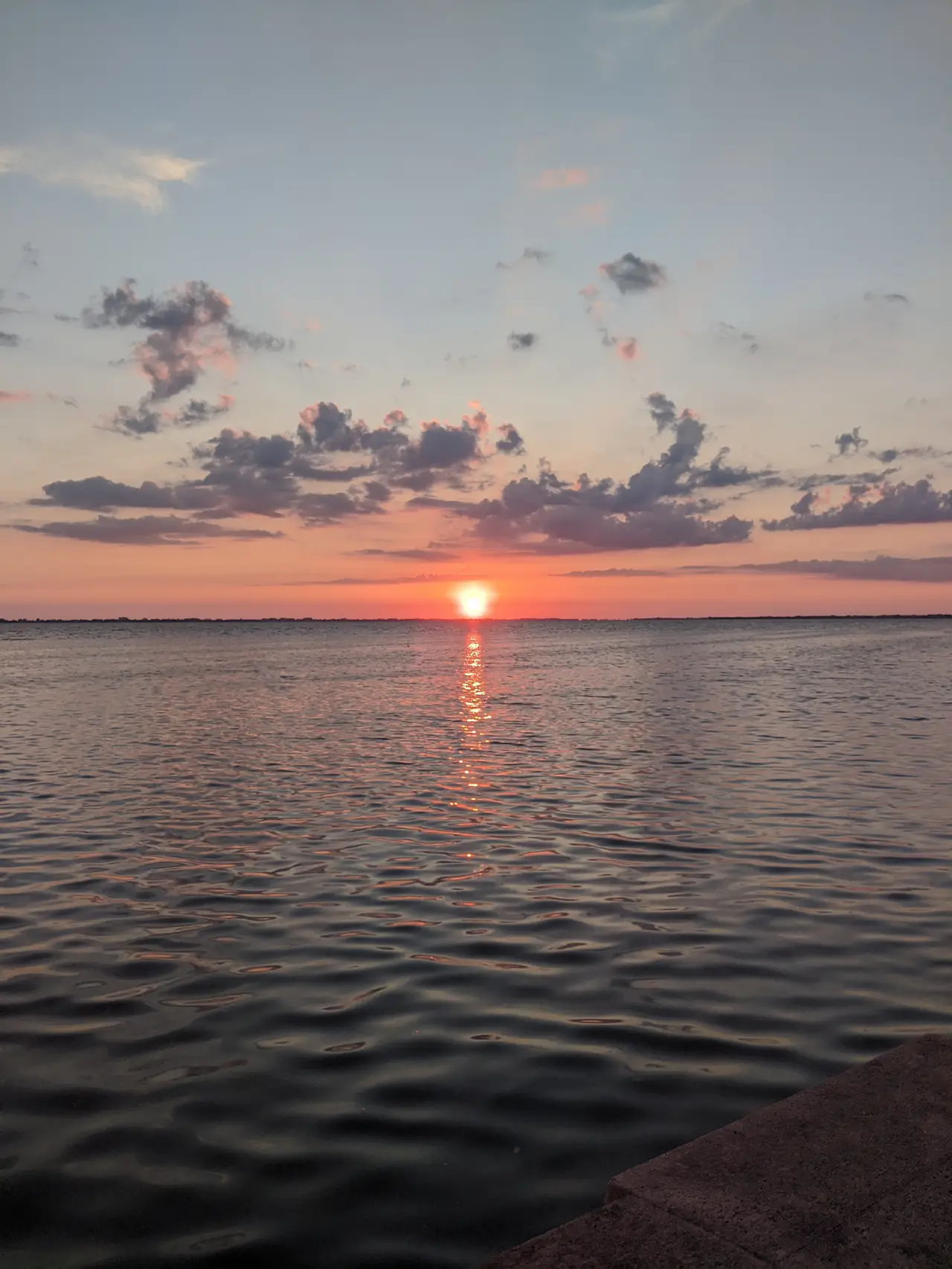
Sunset over Sarasota BayPhoto by ZoeMcDonald. New college bay.jpg on Wikimedia Commons, CC BY-SA 4.0.
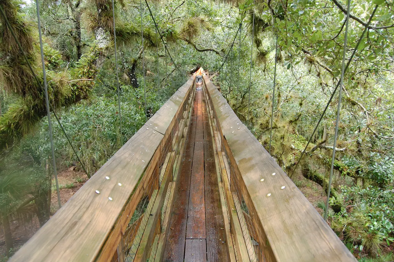
Canopy walkway, Myakka River State Park, a short drive from Lakewood RanchPhoto by Shockblaster. Myakka Canopy Walkway.JPG on Wikimedia Commons, CC BY-SA 4.0.
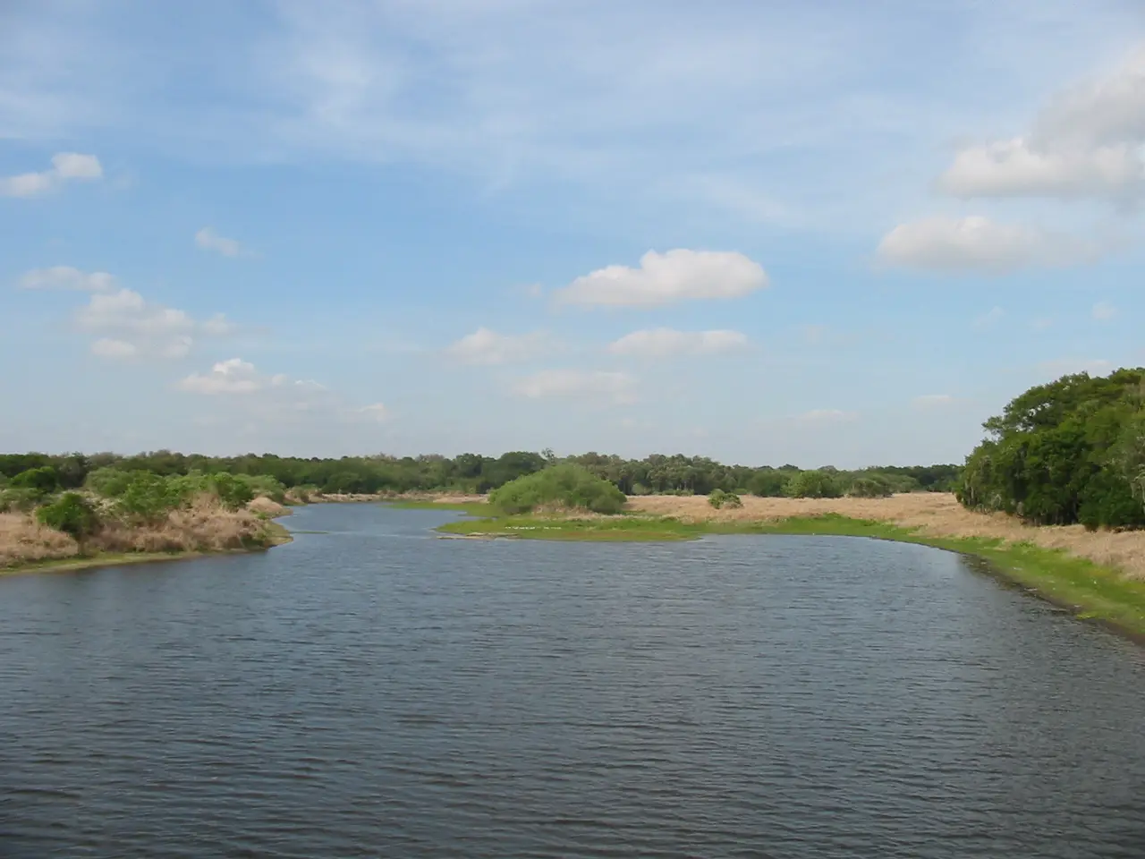
The Myakka River in Myakka River State ParkPhoto by Will Pittenger. The Myakka River inside Florida's Myakka State Park 1.jpg on Wikimedia Commons, CC BY-SA 3.0.
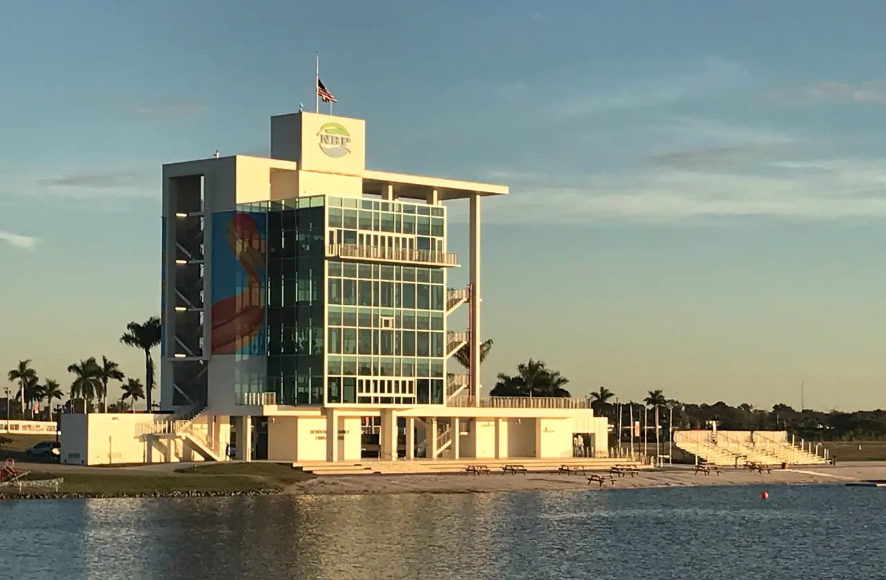
The finish tower at Nathan Benderson Park, near Lakewood RanchPhoto by Architecttype. Nathan Benderson Park Finish Tower (Guy Peterson, Architect, FAIA).jpg on Wikimedia Commons, CC BY-SA 4.0.
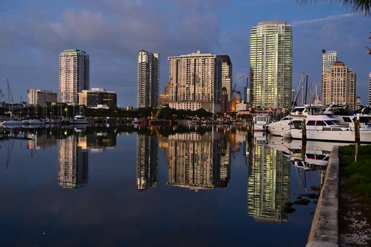
Downtown St. Petersburg at sunrisePhoto by Andrew Heneen. St. Petersburg Florida skyline at sunrise 1.jpg on Wikimedia Commons, CC BY 4.0.
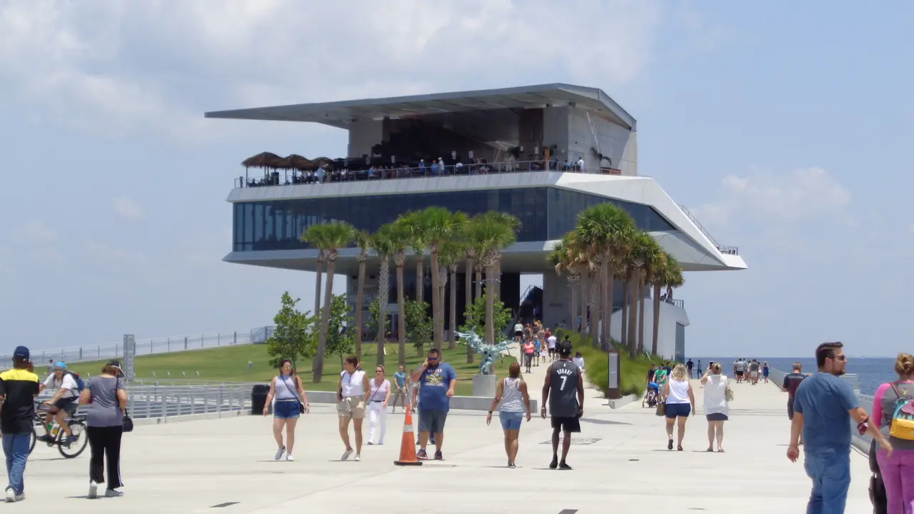
The St. Pete PierPhoto by Jackdude101. St. Pete Pier - East.jpg on Wikimedia Commons, CC BY-SA 4.0.
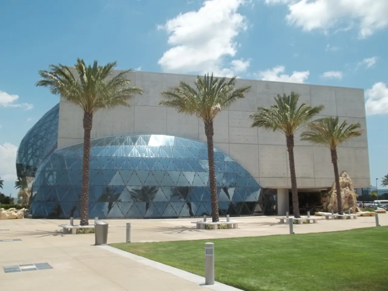
The Dalí Museum, St. PetersburgPhoto by Ebyabe. St. Pete Dali Museum06.jpg on Wikimedia Commons, CC BY-SA 3.0.
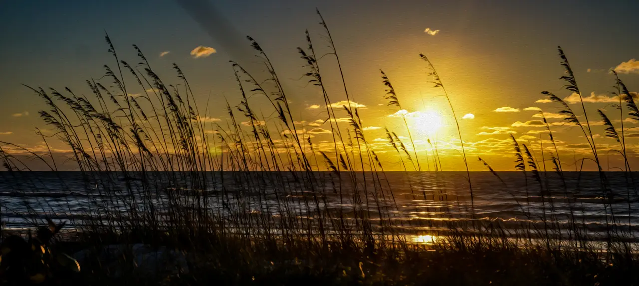
Sunset at Pass-a-Grille BeachPhoto by TraHitt. Sunset at Pass-a-Grille beach, Pass-a-Grille, Florida.png on Wikimedia Commons, CC BY-SA 4.0.
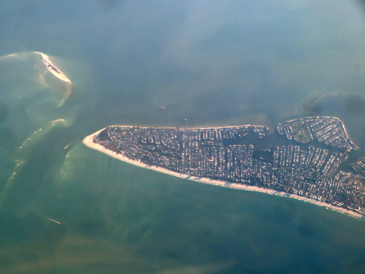
Bean Point, Anna Maria Island, from the airPhoto by Ken Lund. Bean Point, Anna Maria, Florida (51142222479).jpg on Wikimedia Commons, CC BY-SA 2.0.
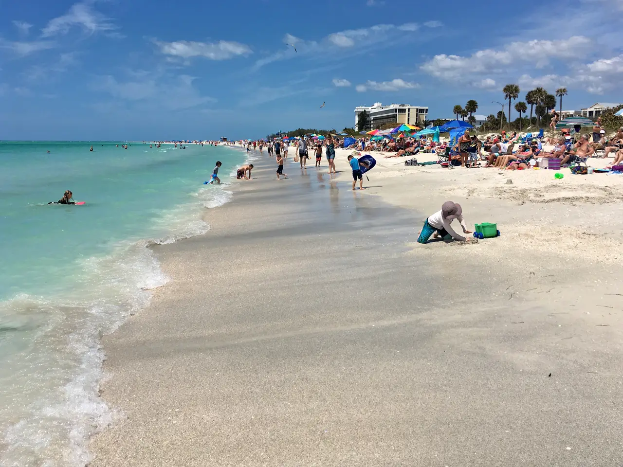
Lido Beach, Lido KeyPhoto by Fred Hsu. 2017 Sarasota Lido Key Beach 2 FRD 9567.jpg on Wikimedia Commons, CC BY-SA 3.0.
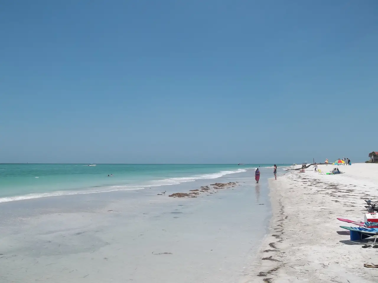
Longboat KeyPhoto by Ebyabe. Longboat Key FL beach03.jpg on Wikimedia Commons, CC BY-SA 3.0.
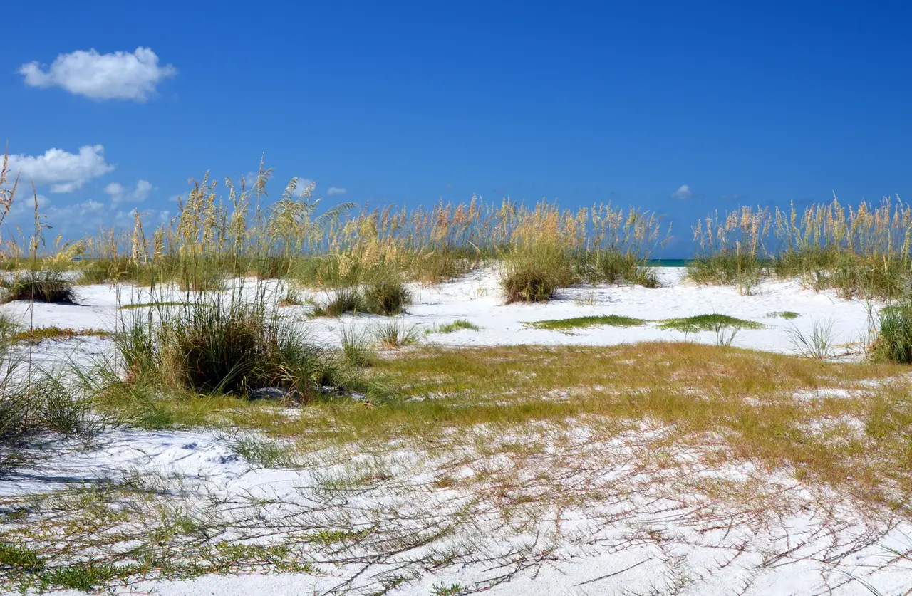
Sea oats on Anna Maria IslandPhoto by Gzzz. Anna Maria island.jpg on Wikimedia Commons, CC BY-SA 4.0.
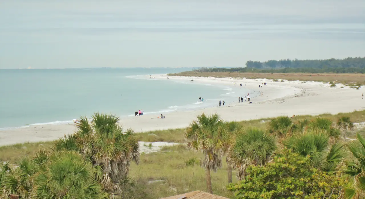
Fort De Soto Park, Tierra VerdePhoto by Richard Mc Neil. La Plage ^1, Fort De Soto Park, Tierra Verde, Floride. ^1 beach - panoramio.jpg on Wikimedia Commons, CC BY 3.0.
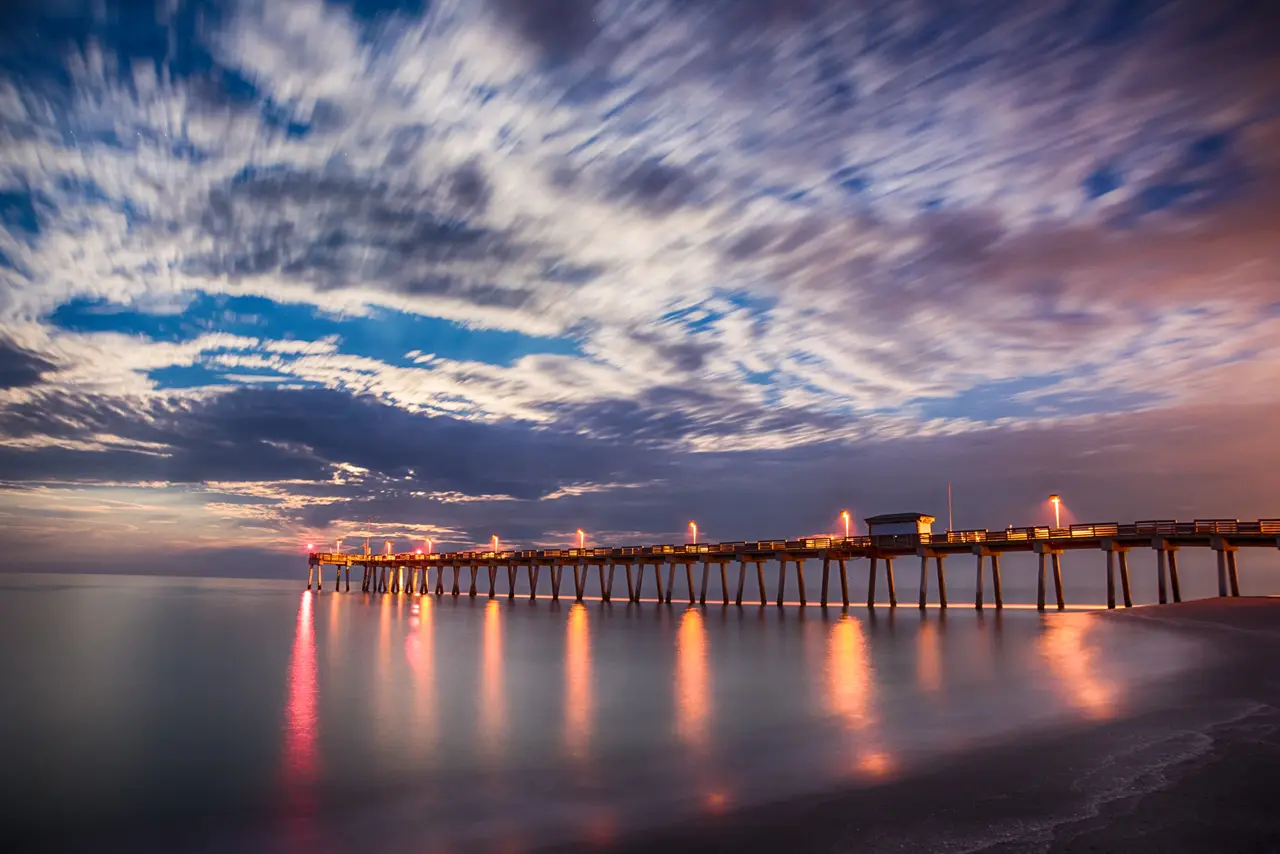
Venice Fishing Pier at duskPhoto by Don Miller. Venice Fishing Pier - Flickr - DonMiller ToGo.jpg on Wikimedia Commons, CC BY 2.0.
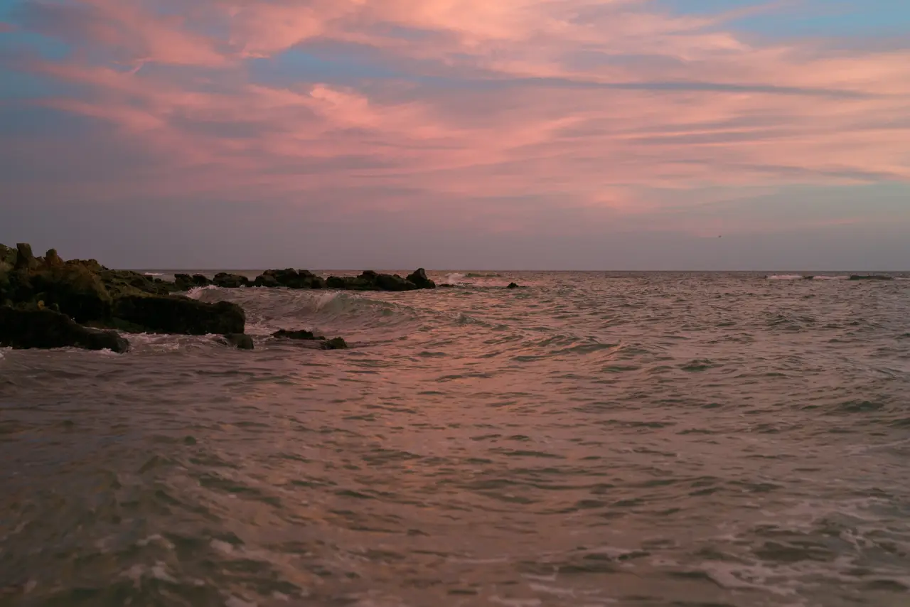
Caspersen Beach, VenicePhoto by Karl Thomas Moore. Caspersen Beach, Venice I.jpg on Wikimedia Commons, CC BY-SA 4.0.
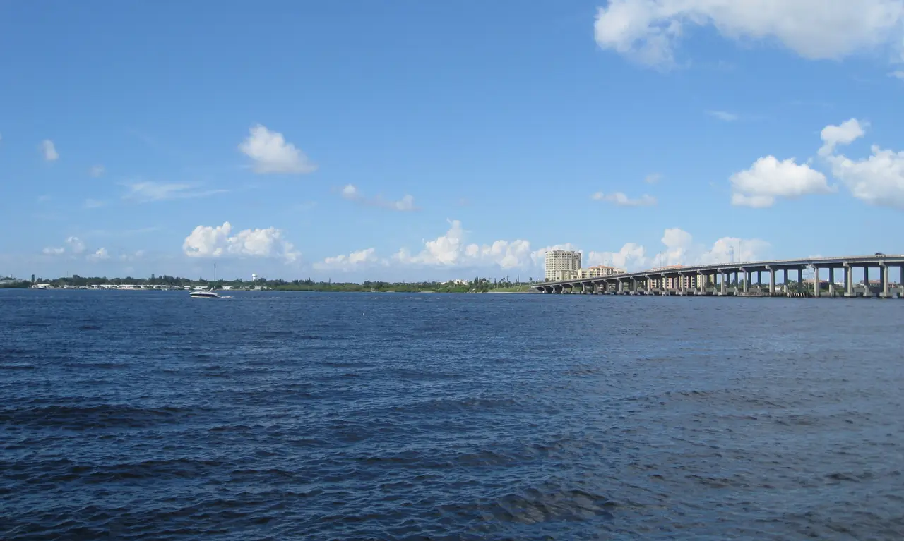
The Manatee River from the Bradenton RiverwalkPhoto by Jared. Bradenton - Riverwalk - Manatee River & DeSoto Bridge.jpg on Wikimedia Commons, CC BY 2.0.
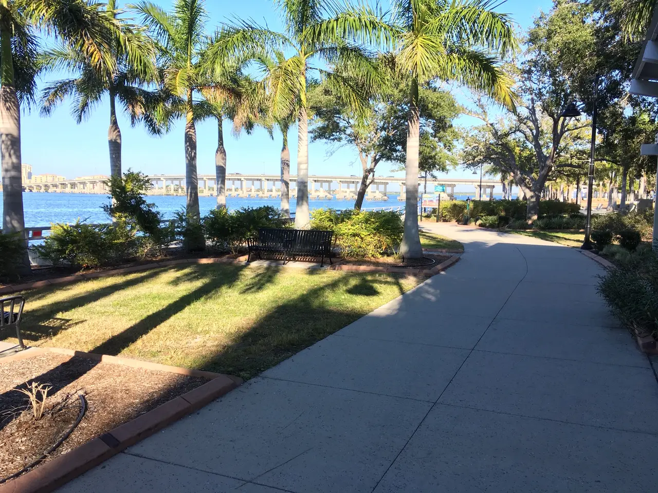
Bradenton RiverwalkPhoto by Sanibel sun. Bradenton Riverwalk.jpg on Wikimedia Commons, CC BY-SA 4.0.
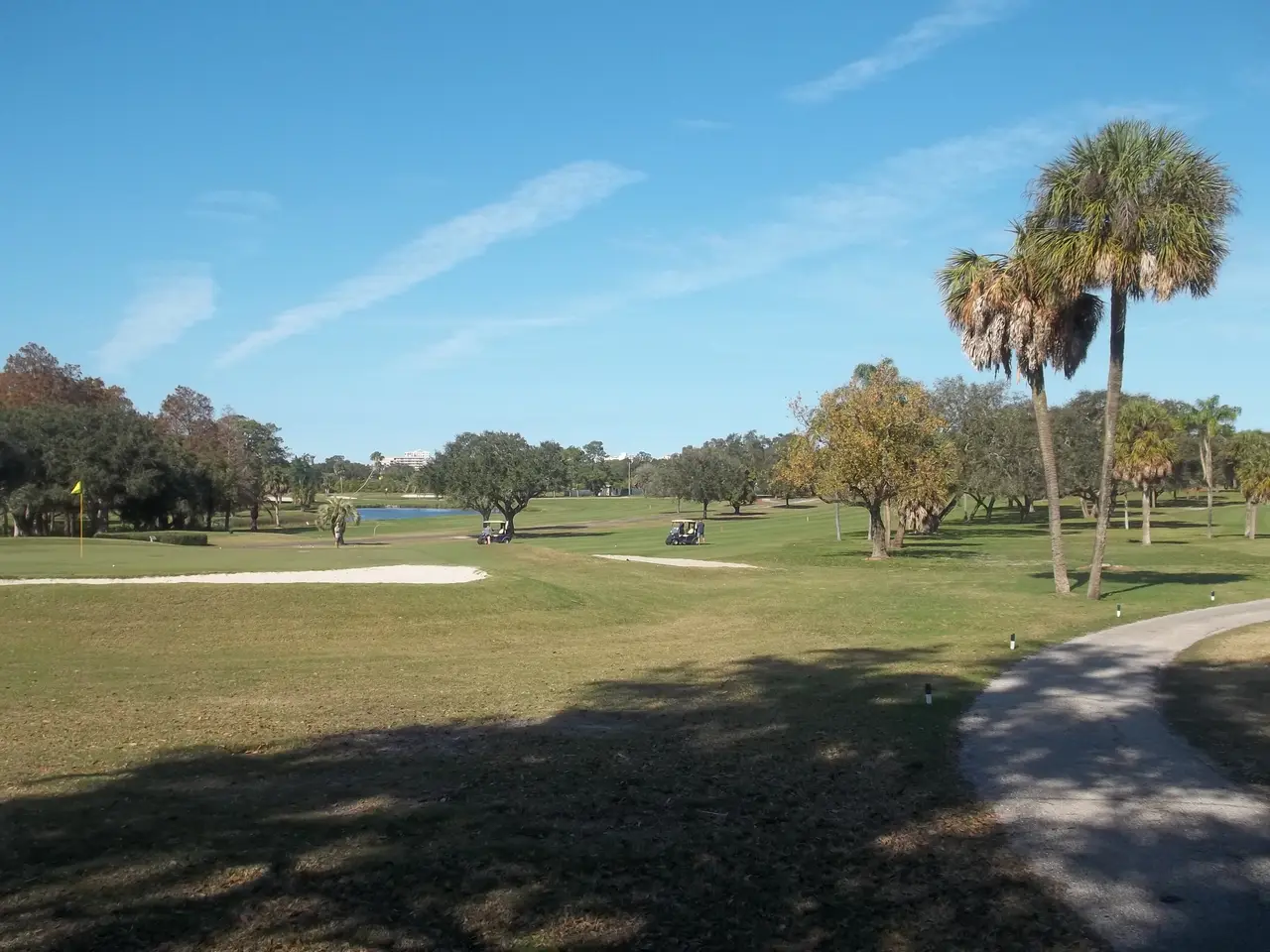
Dunedin Isles Golf Club, DunedinPhoto by Ebyabe. FL Dunedin Isles Golf Club Golf Course03.jpg on Wikimedia Commons, CC BY-SA 4.0.
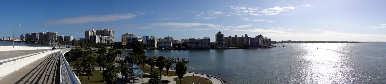
Skyline of SarasotaPhoto by Patrick Braga. Skyline of Sarasota, Florida.jpg on Wikimedia Commons, CC BY-SA 3.0.
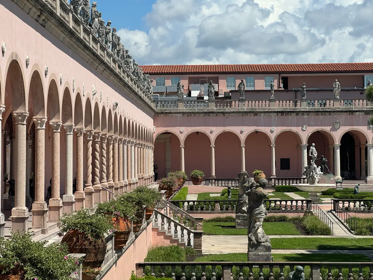
Courtyard of the Ringling Museum of ArtPhoto by Eekelley23. The Courtyard of Ringling Museum of Art in Sarasota, Florida.jpg on Wikimedia Commons, CC BY 4.0.
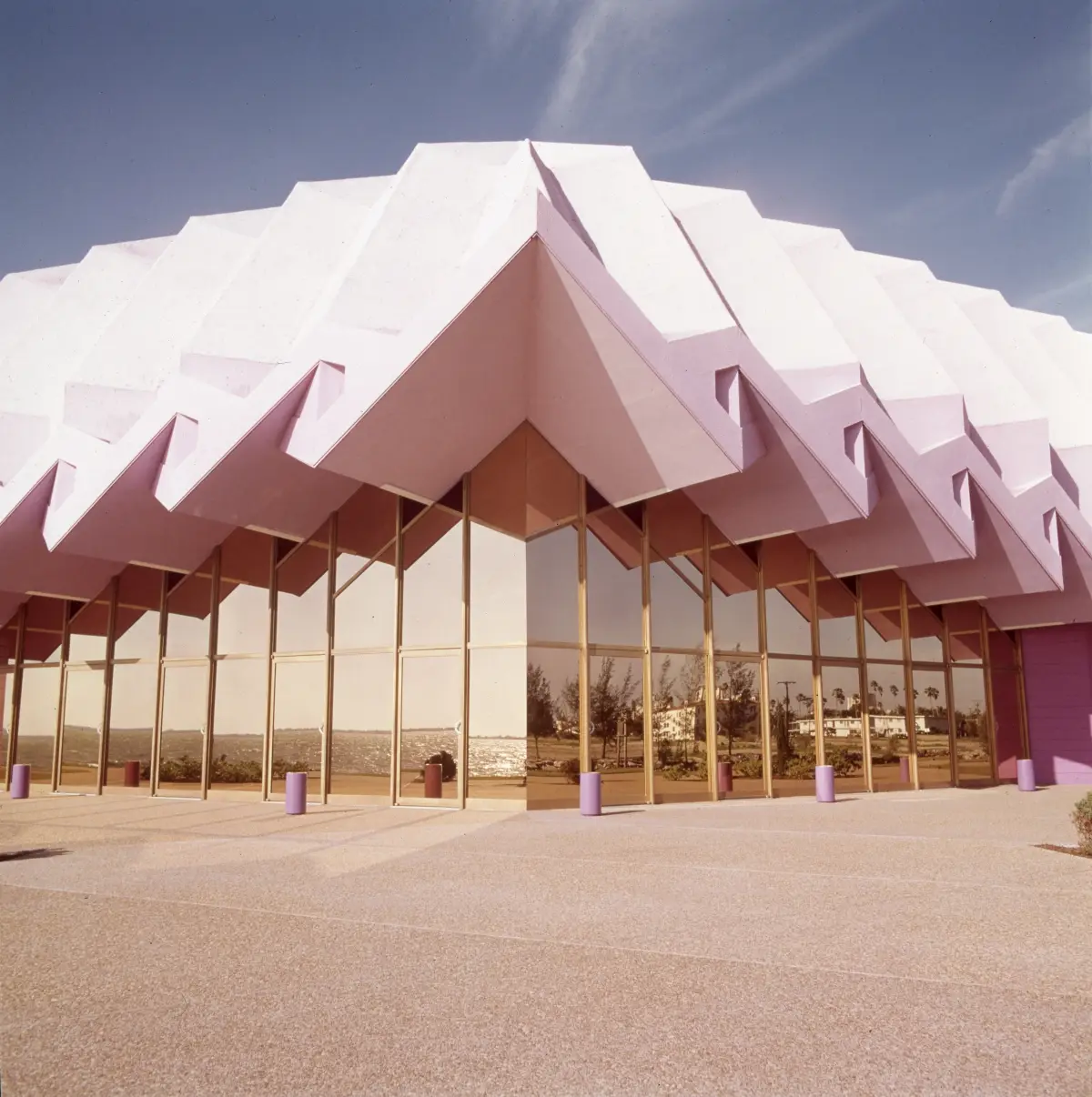
Van Wezel Performing Arts Hall, SarasotaPhoto by Murphy. Van Wezel Performing Arts Hall.jpg on Wikimedia Commons, CC BY-SA 4.0.


The map
Map data © OpenStreetMap contributors, under the Open Database License. The basemap is cut from Protomaps' build of that data from October 2026, and the site hosts it itself.
The map is drawn with MapLibre GL JS (BSD license). Its labels are set in Noto Sans, under the SIL Open Font License, and its road shields and town dots come from Protomaps' basemap assets.
Every neighborhood, club, restaurant, beach, park, marina and event on the map has its own page or card on this site, with its sources. Many of the points were looked up in OpenStreetMap, through its Nominatim search, and those are © OpenStreetMap contributors under the same Open Database License. Others came from the U.S. Census Bureau's geocoder, which is in the public domain, or were set by hand.
The flood zones are FEMA's National Flood Hazard Layer, downloaded October 28, 2026. For a property decision, check the official map at the FEMA Flood Map Service Center. The evacuation zones are each county's own, downloaded October 28, 2026: Sarasota County, Manatee County and Pinellas County.
The neighborhood outlines come from Sarasota County's plat boundaries, Manatee County's subdivisions, the City of St. Petersburg's neighborhood associations and the U.S. Census Bureau's town and place boundaries, merged where a place covers several, and checked by hand before they're shown. The small maps on place pages are drawn from the same basemap.